GOOGLE EARTH SATELLITE VIEW: Eastern Montana, US12 From Elevation 3005 Ft To Elevation 2950 Ft. Plus Related Passages From Book Zen and the Elevation toof Motorcycle Maintenance.,
In ZMM Route Segment 3
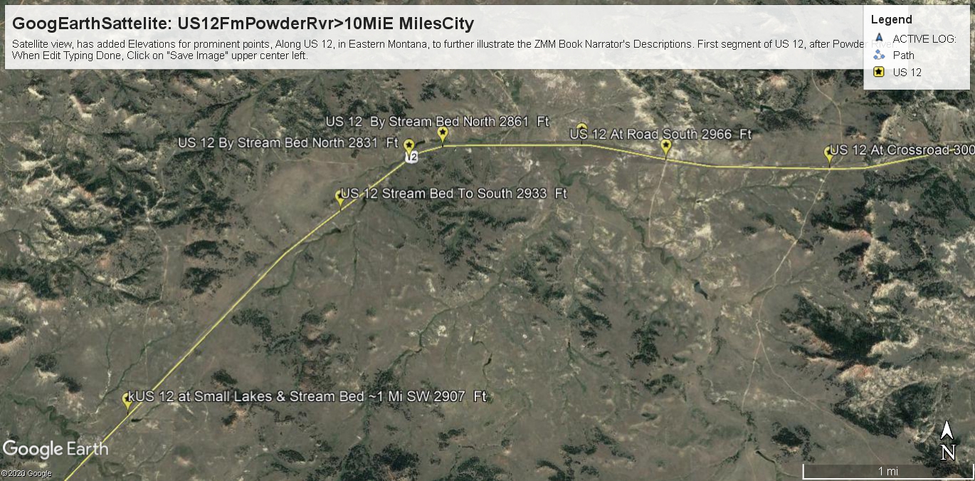
The Darker Areas Are Small & Thin, Meaning Road Here Has Gone Down Slightly In Elevation, And Absence Of Hills, Evidently Also Reduces Chance For Rain.
.The right half of above image, repeats previous photos
Some minor hills: and
A narrow darker green rain runoff channel, at 45 deg. This is so that you can see that this ~5 mile portion of US 12, stays around (2950 Ft), and the area by the road, has relatively few darker green areas.
Thus the ZMM Narrator Doesnt Say Anything Concerning This Landscape, Because His Focus (And Narrative Purpose), Is On Steady Going Up, And More Green:
And as Henry Gurr remembers from twice driveing this road westward, his tTravelers sSense was always giving a feeling of gradually going up. This sense comes from => Here the traveler can see the western horizon ~6 miles ahead, with upward slope, clear & sharp against the sky, with no land seen beyond. Although there are minor elevation changes, the sense of the road, is always gradually up, because thats how it looks! And Henry Gurrs once eastward traverse, didnt change this feeling.
